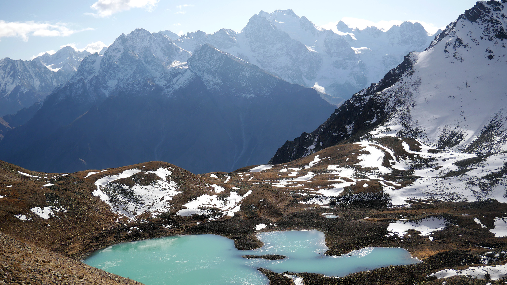
Lake Giybashkel - Cherek canyon
About the route
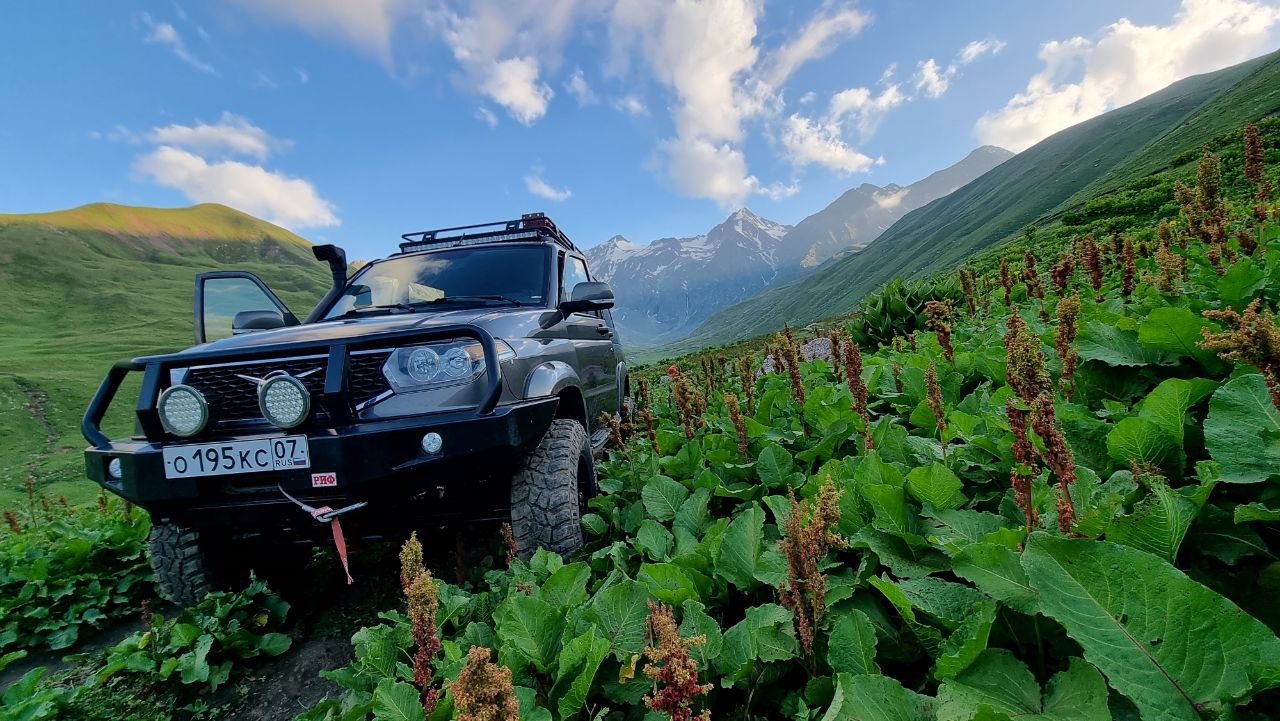
The first part of the trip is described here - Jeep tour in Cherek-Balkaria canyon
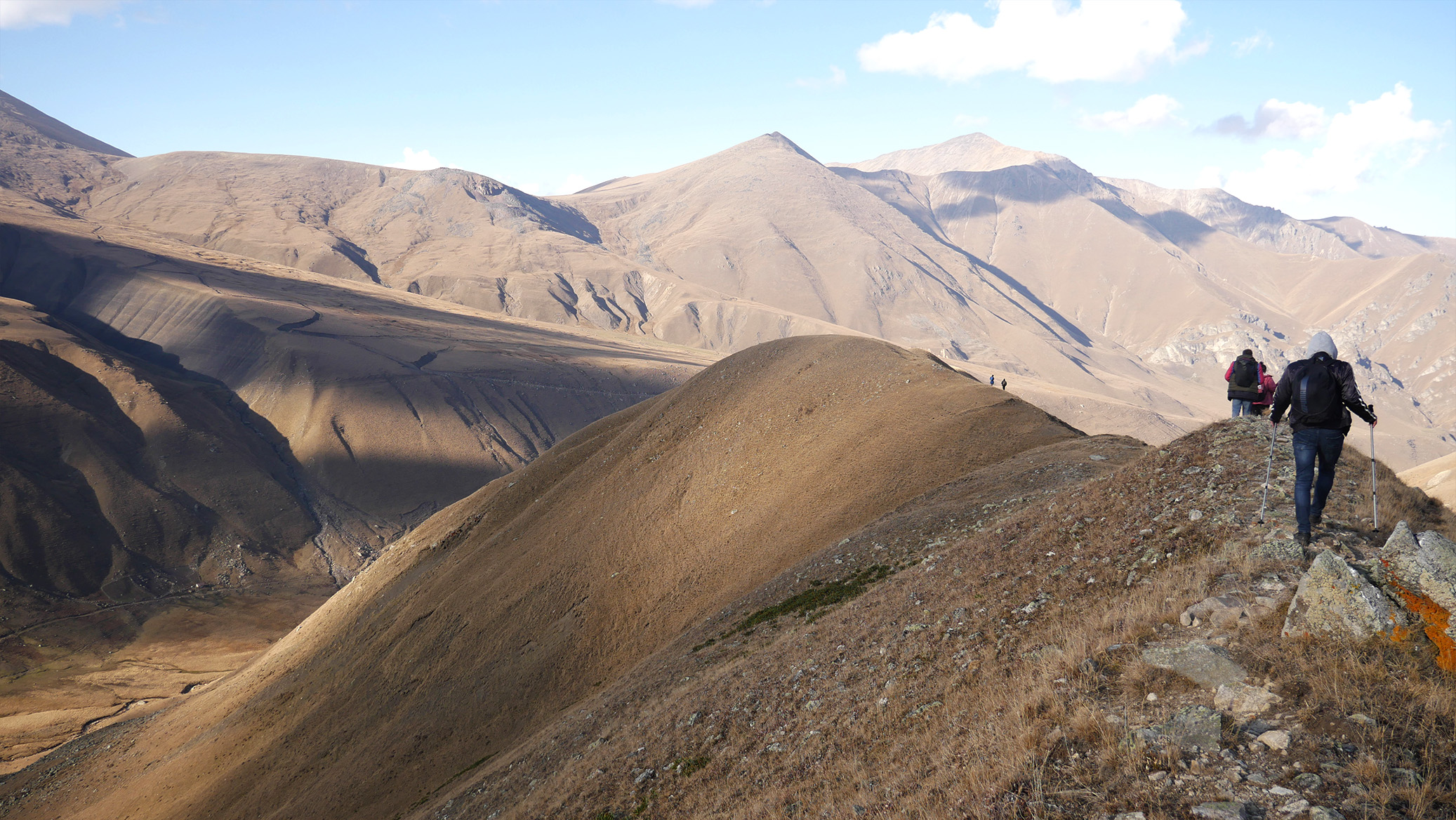
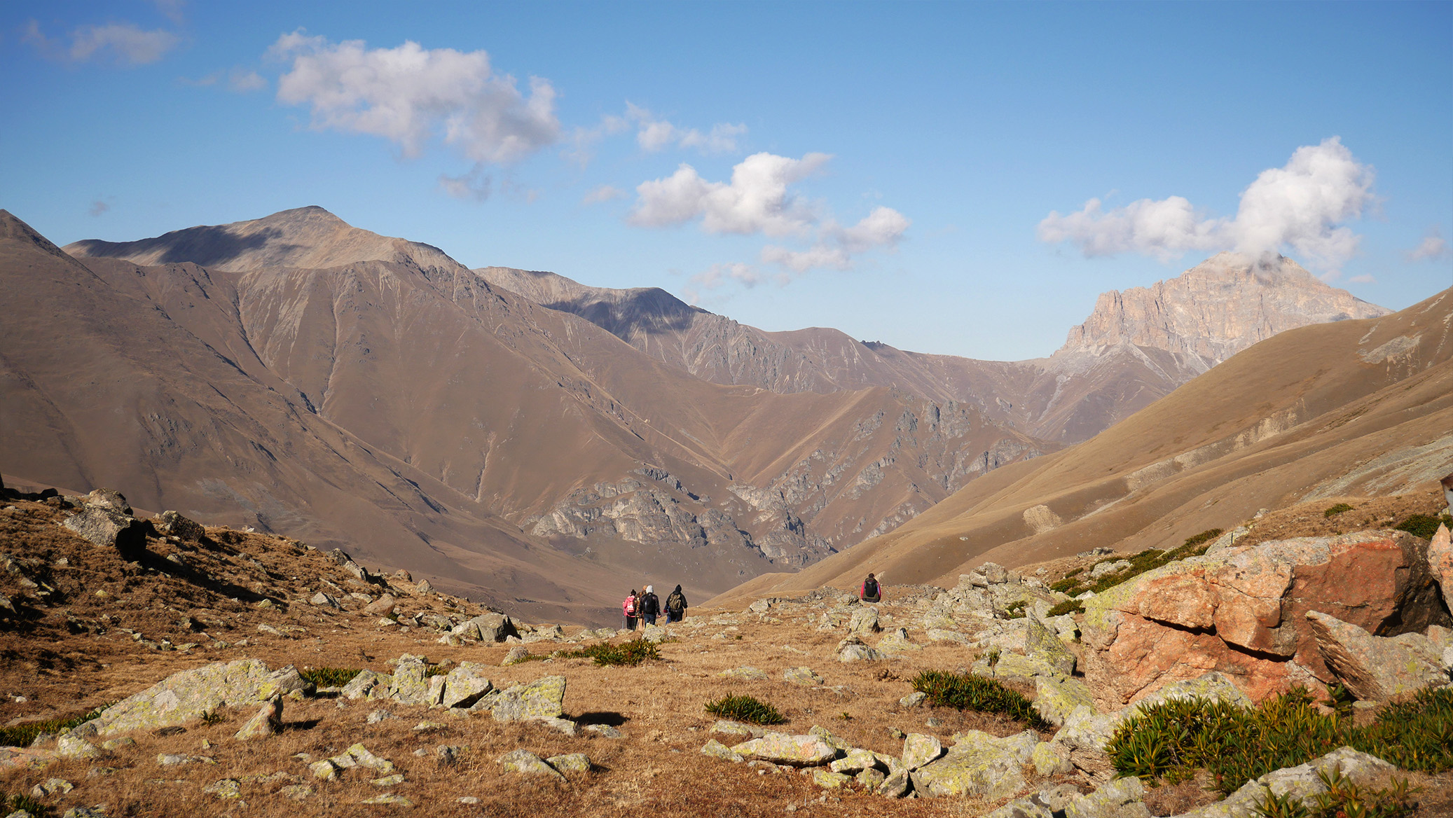
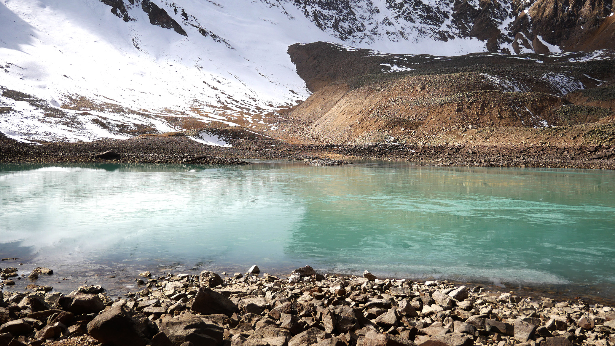
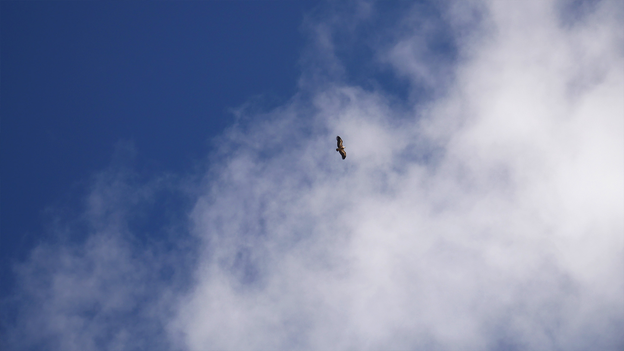
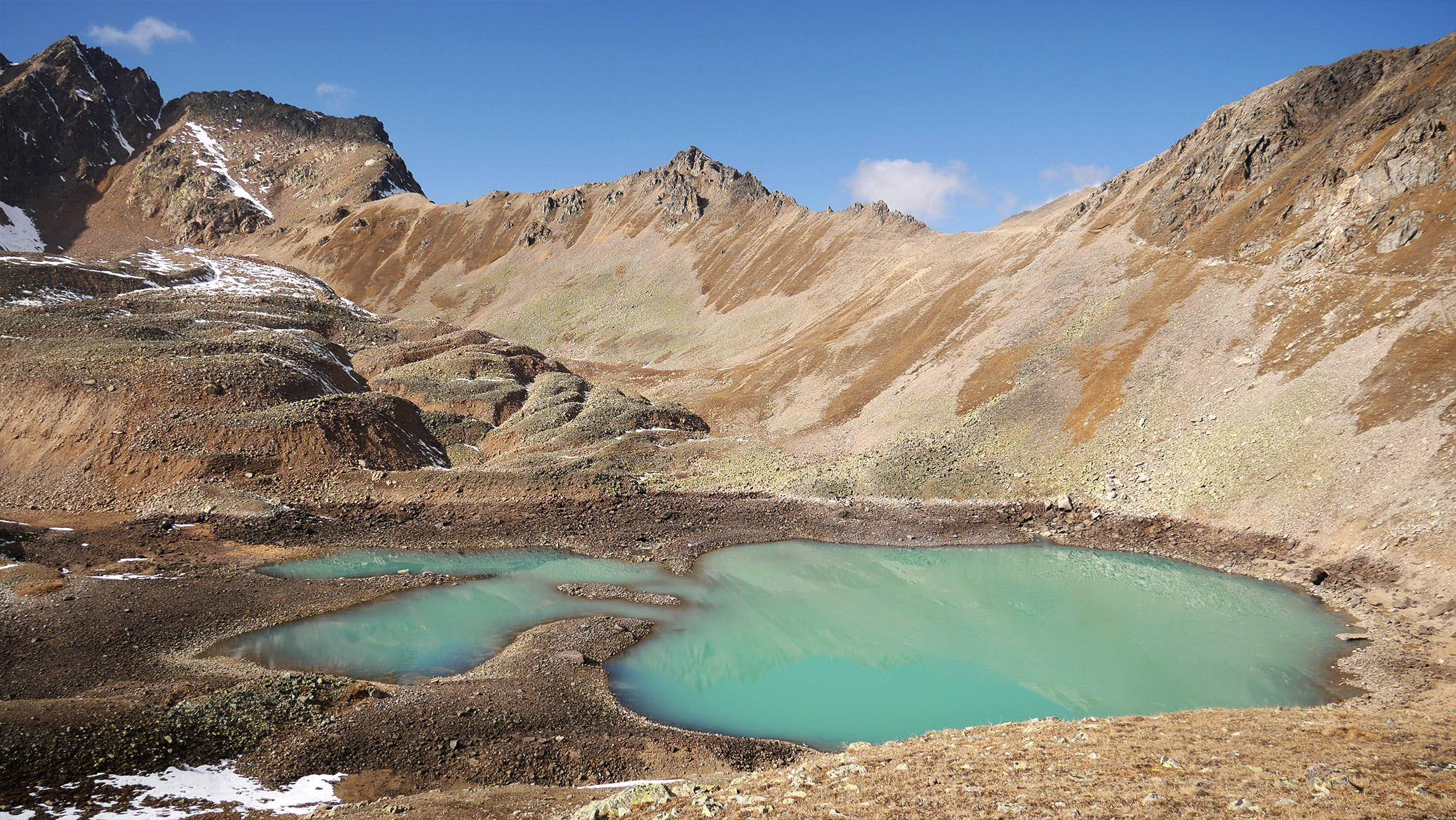
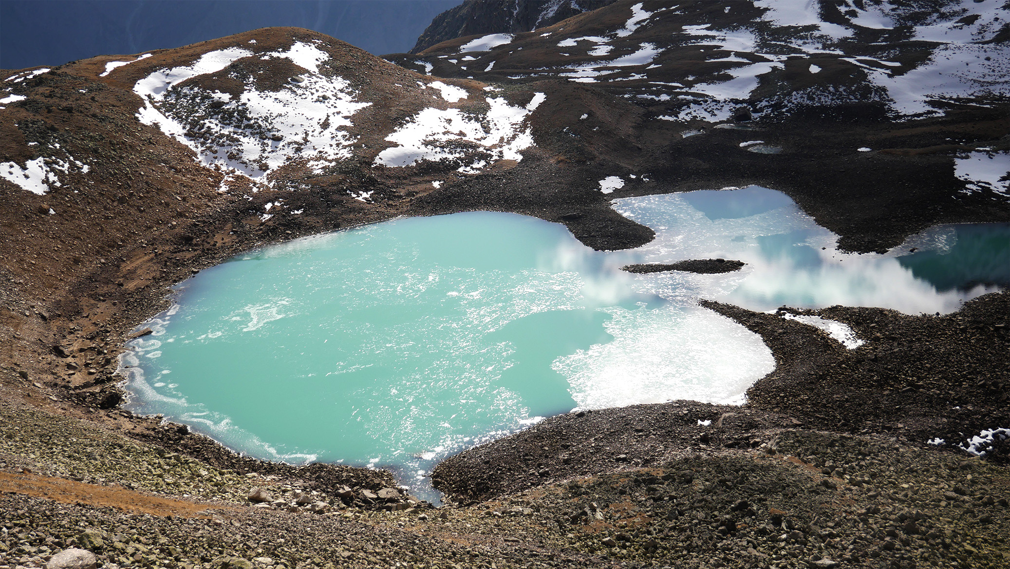
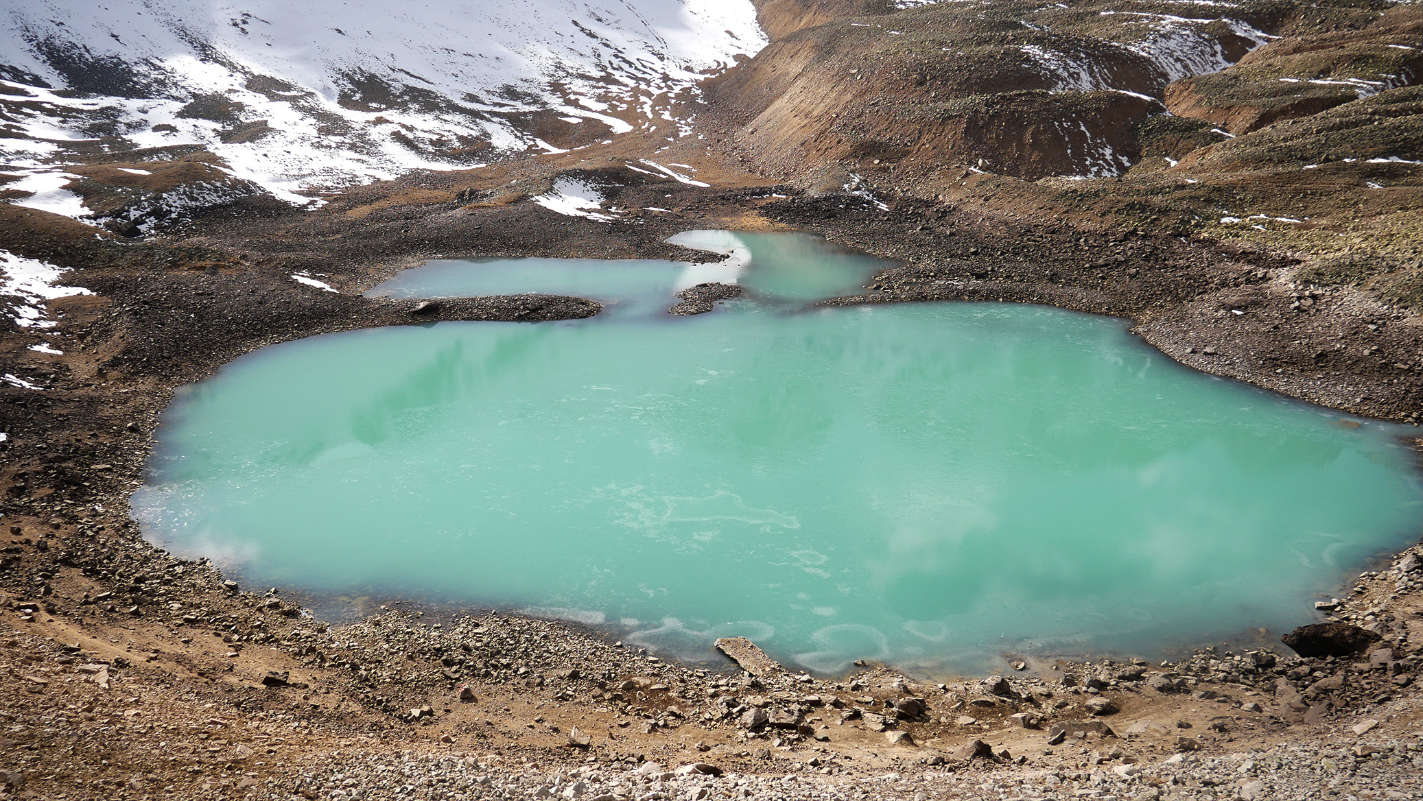
Lake Giybashkel is located in the Cherek Gorge above 3000 meters above sea level. The road to it starts from the village of Upper Balkaria. Further - only on foot, about 6 km along the valley of the Chainashki River. The landscape is unusual, as if from The Lord of the Rings. There are also peacefully grazing horses, and wild yaks, and eagles soaring overhead.
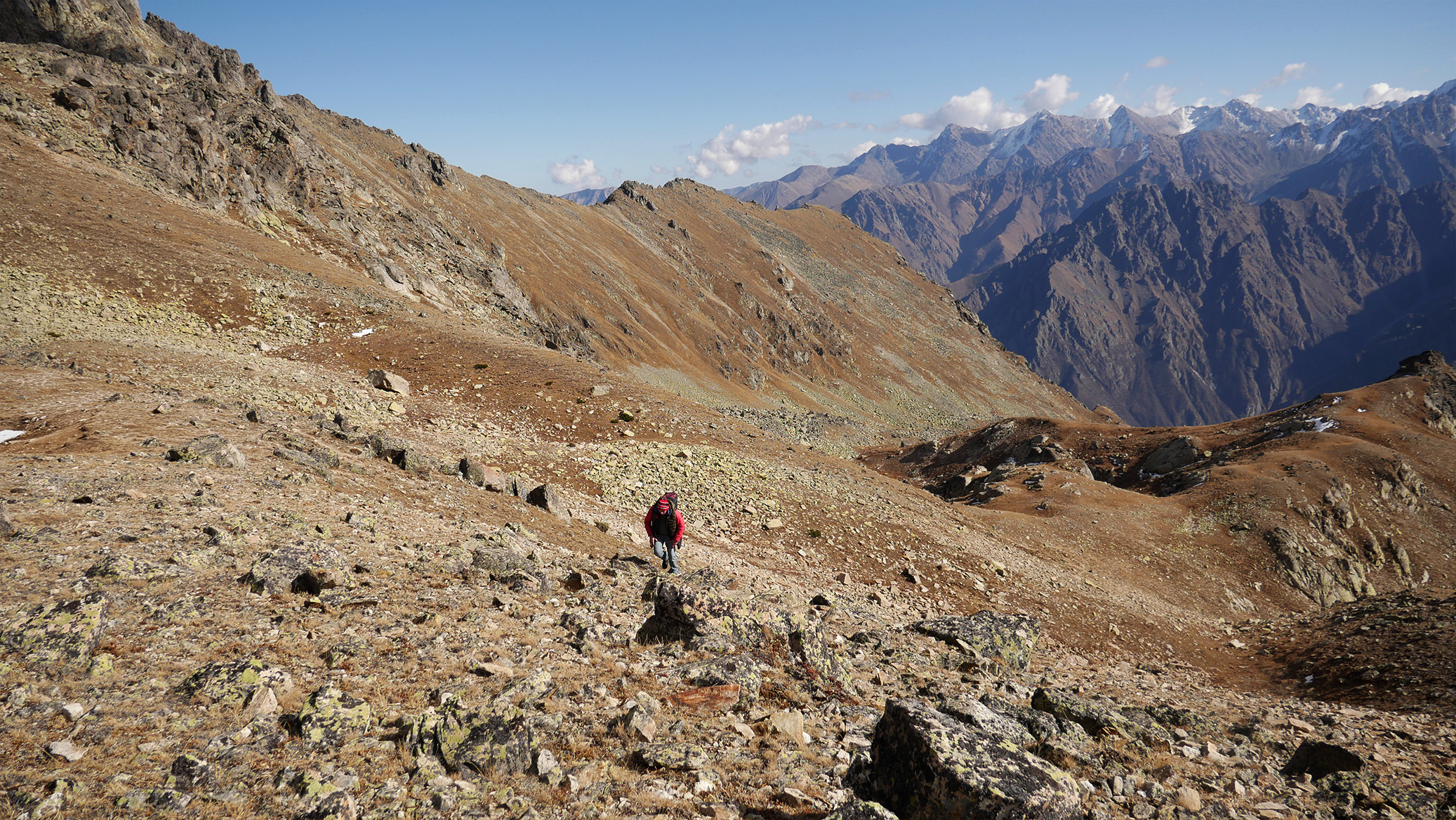
We drive up to the upper kosh (farm yard) in the upper reaches of river Chainashki. Our walking path to the Giy-Bash-Kol Lake begins from the upper reaches of the Chainashki gorge, from the upper kosh, where the road ends, almost ending on the majestic mountain range of Kayashki-Su-Bashi, from which a picturesque waterfall falls right in front of us, and a glacier shines above. And here we are crossing the Chaynashki River and heading to the old and almost invisible geological road, which will lead us in a steep serpentine to the Turashashki gorge. New views, new experiences!
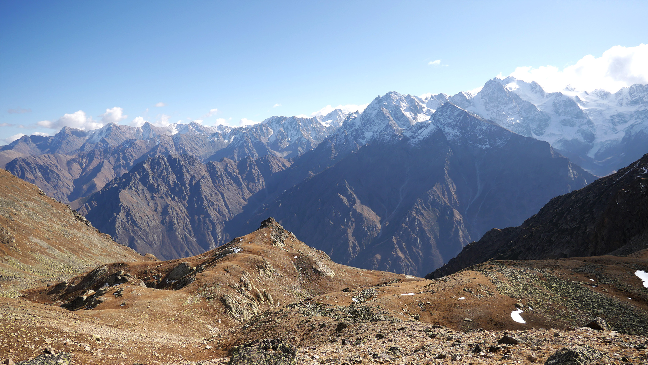
On the left rises the rocky peak of Suuk-Auz-Kaya, closer to us is the peak of Rechitebe, from which there is a mountain range with small peaks and passes, behind one of which our lake is located. The path through the gorge is not difficult, but the height is already felt, snow can fall on the path even in summer. An hour's journey and we are approaching the pass take-off. This is a steep ascent of 150 meters, snowy until mid-July, later it is a scree path leading in a steep zigzag to the Turashashki pass. The trek to the pass offers an indescribable view of the Sugan mountain range, or, as it is also called, the Sugan Alps. But let's look a little lower and in front of us is a turquoise expanse of water, quite close. We go down 50 meters - and we are on the shore of the lake!
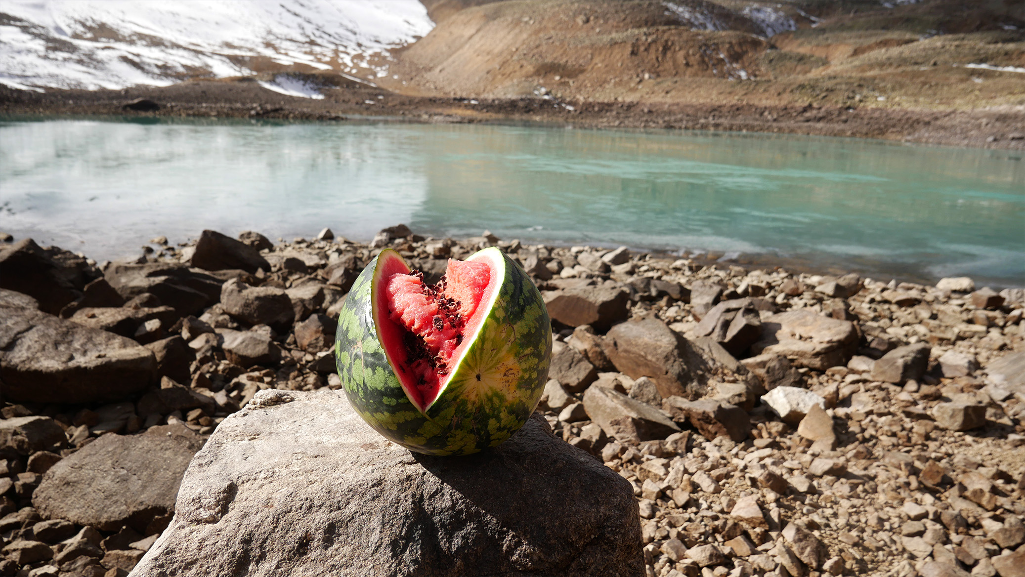
Here we will make a basic rest with hot meals, photography, those who wish can go to the second lake, which is lower. After that we will go back. In these places, in addition to beauty, you can meet herds of yaks, very unusual animals. Or to see how the Turashashki River originates, flowing out from under the stones, and then, instead of flowing in the depths of the gorge, it runs along its edge, over the discharge into the Chainashki gorge! Amazing place.
Tour program
Transfer on 4 wheel car from Nalchik at 7:00. Driving to the Cherek Gorge.
Stop at the lake and near canyon Cherek.
The beginning of the hiking route to the lake Giybashkel. Route length 6 km.
The end point of the route is Giybashkel.
PRICE | 4'000 rubles per person |
DEPARTURE TIME | 07:00 |
DURATION | 10-12 hours |
NUMBER IN THE GROUP | from 4 pax |
INCLUDED IN THE PRICE |
Transport services all along the way |
Route guide accompany |
Trekking poles |
|
ADDITIONALLY PAID |
Professional guide (optional) | Lunch and snacks |
|
You must have: ✓ Passport, ✓ Snack, ✓ Sports shoes, ✓ Rain clothes Important to know! If weather conditions are unfavorable for the tour, then changes to the planned route are possible, including the day and time of departure. |
Booking
What to take on the trail
- Trekking boots that are already broken in, spare socks
- Waterproof jacket and a warm layer — weather in the mountains changes fast
- Water (1.5-2 l), snacks, sun cream and a hat
- Trekking poles if you use them, a small backpack
- Passport copy — some valleys are in the border zone
Expedition Reviews
 Direct WhatsApp Inquiry
Mount Elbrus Altitude Climate & Stations
Route Photo Gallery